

See where the sun reaches, and where mountains, buildings and clouds keep it out, at any time of any day.
- Free, no account
- Any place, day and time
- Web and Android
What is sunnyray?
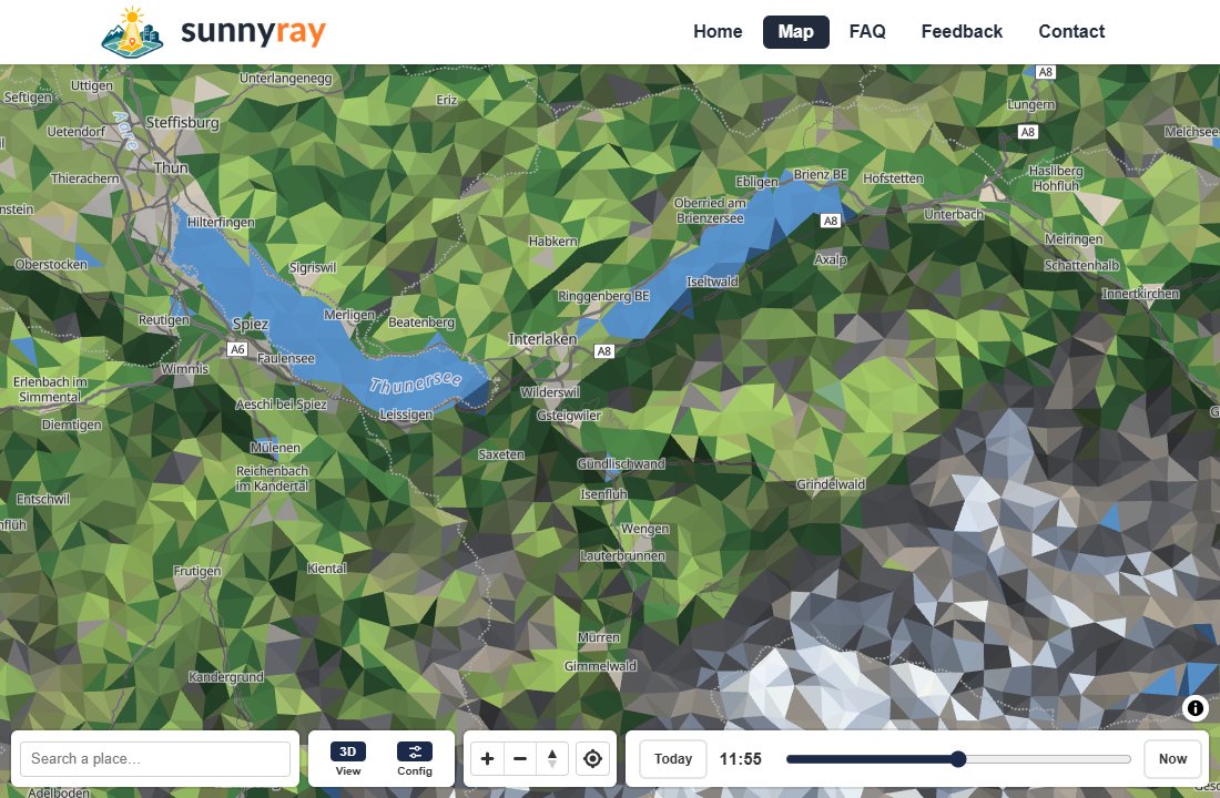
sunnyray is a map of sun and shade. Pick a place, a day and a time, and the map shows the shadows that mountains and buildings cast at that moment, and, if you like, the shade of the clouds forecast for that hour. You can tell at a glance whether a terrace, a trailhead, a ski slope, a garden or a valley floor is in the sun, and when that changes.
Find the spot
Search for a place or move the map there, and click to drop a pin.
Pick the moment
Choose the day, then drag the time slider: the shadows move with the sun.
Read the light
The pin tells you when the sun really arrives and leaves there, mountains and buildings included.
What you can do
Shadows through the day
Drag the time slider and watch mountain and building shadows move. The land darkens as the sun sets and goes dark at night.
Pin a spot
Drop a pin to read off sunrise, sunset, when the sun actually reaches that spot and leaves it, and the stretches in shade.
Cloud shadows
Switch on Clouds to see the shade of the forecast cloud cover, hour by hour, with a strip that shows the day's weather at the centre of the map.
Sun hours
See how much of the day's daylight reaches each spot, from none (red) to all day (green).
A landscape you can read
The land is drawn as lit facets, with forests, rocks, water and textured roads, so slopes and valleys stand out at a glance.
3D mountains and buildings
Tilt the camera to see the terrain in relief and the buildings lit by the sun, with shadows on their walls.
Any day of the year
Choose today or any other date: the sun's path, and so the shade, changes with the seasons.
Anywhere in the world
Terrain and buildings come from open worldwide data, so it works in the Alps, in a city or by the sea.
sunnyray on your phone
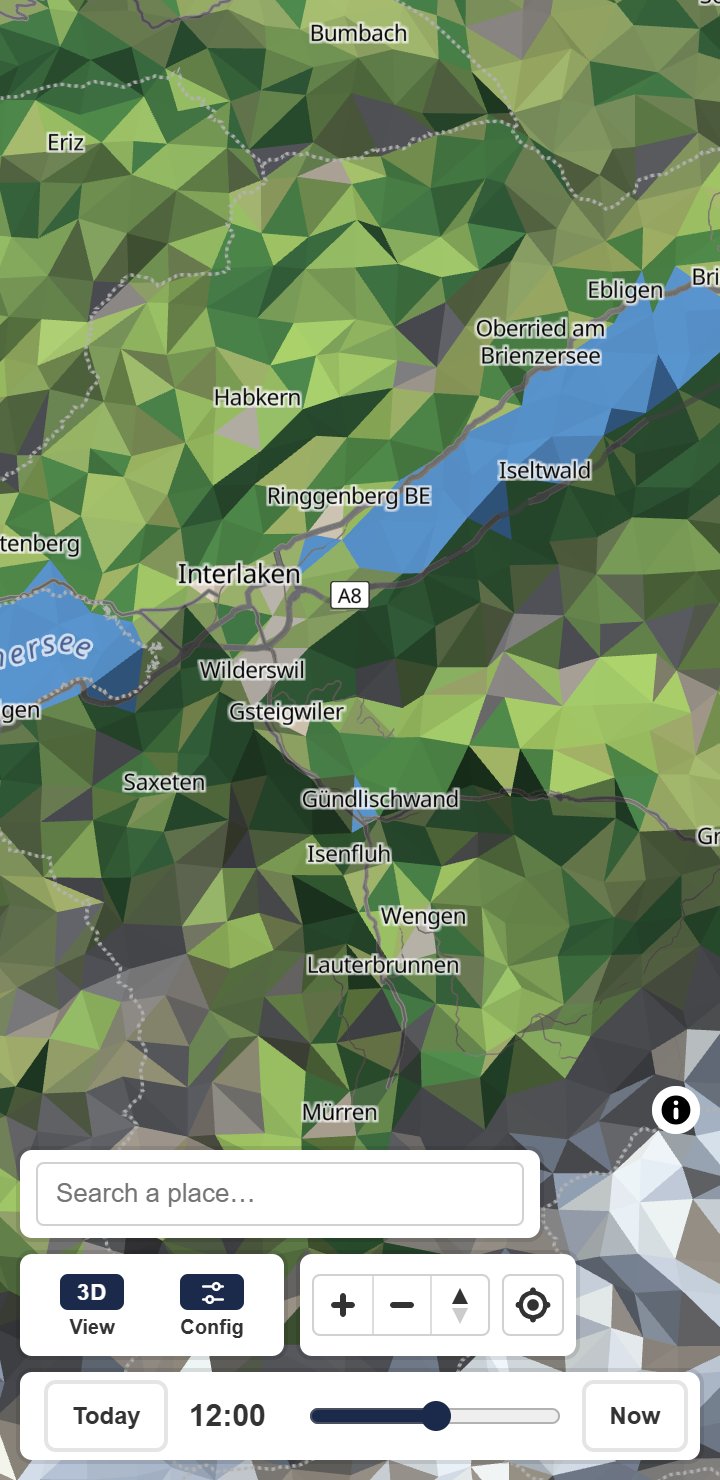
Take the map with you. The Android app has the same sun and shade map, and it can centre on where you are, so you can check the sun at the spot you are standing in, or the one you are heading to.
How it works
The sun's position is calculated for the place, day and time you choose. The shadows are then worked out on your own device, from terrain elevation data and the height of every mapped building, by tracing the sun's rays across the mountains. Cloud shade comes from the hourly forecast of low, middle and high cloud, and of direct sunlight. Mountain shadows appear from about zoom level 10, building shadows once you zoom in to street level. All times are in your device's time zone.
The base map is © OpenStreetMap contributors, served by OpenFreeMap. Elevation comes from the Terrain Tiles open dataset, and weather data from Open-Meteo.
Frequently asked questions
Is sunnyray free? Do I need an account?
It is free and needs no account. Open the map and start.
How accurate are the shadows?
Mountain shadows are traced from elevation data, so they follow the real ridges and valleys, but small features such as trees, walls and rocks are not in the data and cast no shadow. Building shadows use the heights mapped in OpenStreetMap; a building with no recorded height, or one that is missing from the map, can be off or absent.
Does it take the weather into account?
Only when you switch on Clouds in the Config menu. It then uses the hourly cloud forecast for up to 15 days ahead, and recorded forecasts for past days. With Clouds off, the map shows a clear sky.
Which days can I look at?
Any day, past or future: the sun's path is calculated, not looked up. Only the cloud forecast stops 15 days ahead.
Why don't I see any shadows?
Zoom in: mountain shadows appear from about zoom level 10, building shadows only at street level. At night the whole map is dark, and with the sun high in summer the shadows are short.
What does the sun hours view show?
For each spot, the share of the day's daylight that actually reaches it: red for none, green for all day.
Which time zone are the times in?
Your device's time zone, wherever on the map you look.
Does it work on my phone?
Yes, in the phone's browser. The Android app is coming to Google Play: it has the same map and centres on where you are.
Does sunnyray know where I am?
Only if you press the locate button, and then only to centre the map on your device. Your position is not sent to sunnyray. Place searches go to Photon, and the weather is asked of Open-Meteo for the area you are looking at.
Where will the sun be?
Open the map, pick a spot and slide through the day.
Launching soon
sunnyray is not on Google Play yet. We are putting the finishing touches on it, so please check back soon. Meanwhile, the map works in your phone's browser.
